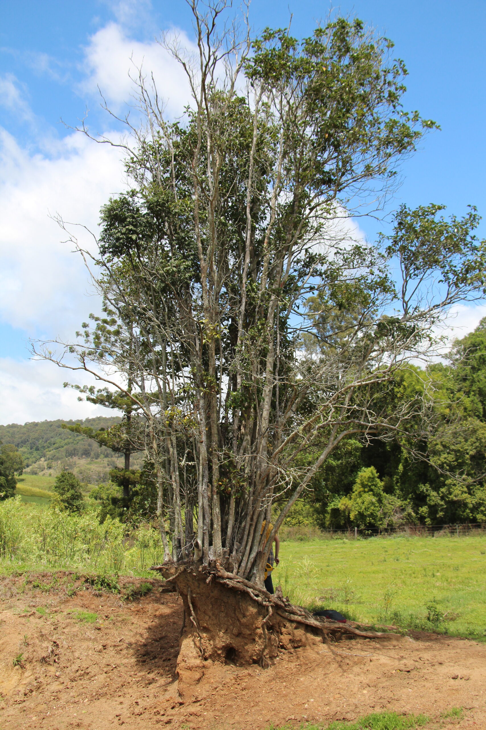
Kin Kin is one of the emerald jewels of the Noosa Hinterland, with rolling green hills, fantastic community spirit and incredibly fertile soil. It is also soil that is on the move due partly to its ancient geological origins and partly because it was once covered in the majestic Kin Kin scrub, characterised by dense thick vine forests and colossal deep rooted Red Cedars (Toona ciliata), giant Kauri pines, (Agathus robusta) and incredible Hoop pine, (Araucaria cuninghamii).
These giants of the forest formulated most of Brisbane including the internal steps of Parliament house to make way for pineapples, bananas and beans, followed by dairy farming and now predominantly beef. These actions all take a toll on soil structure and consequently the catchment area has experienced significant levels of erosion. Recently it has been identified that this fine sediment covering the benthic layer and disrupting the natural ecosystem processes of Lake Cootharaba once originated from the slopes of Kin Kin.
Noosa & District Landcare have partnered with Noosa Biosphere, Noosa Council, Country Noosa, Thomas Foundation, plus a number of other supporting bodies to address these issues through the Keeping It In Kin Kin Program.
A step back in time: a short description of Kin Kin geology
The Catchment has two major distinct landscapes separated by the Wahpunga Range that runs north south through the center. East of the range is dominated by extensive floodplains feeding into Lake Cootharaba. To the west of the range is steep headwater areas and alluvial valleys once vegetated in expansive Lowland Rainforest of Subtropical Australia, listed as critically endangered under the Environment Protection and Biodiversity Conservation Act 1999 (EPBC Act).
The basalt plain and hill landscapes of the Kin Kin catchment can contain one or more unconfined aquifers where groundwater is stored and transmitted through intergranular pore space, fractures, vesicles and/or weathered zone of the rock. When basalt plains and hills overlie lower permeability rock, vertical groundwater movement is restricted at the interface or contact. While groundwater will often continue to leak through the lower permeability rock to some degree (through fractures), typically, groundwater will move laterally and is commonly discharged to the surface along the contact between the two rocks.
The heavy underlying clays of the Kin Kin beds, a moderately hard, fine grained Phyllite mudstone with finely spaced layering dominate geology in the upper catchment. A central north-south band of sedimentary Myrtle Creek Sandstones and quaternary alluvial occupies the river valley and expansive lower catchment floodplains.
LIDAR analysis to find the erosion hotspots
LIDAR stands for Light Detection and Ranging and is a remote sensing method that uses light in the form of pulsed laser to measure variable distances to the Earth, detecting information about the shape of the Earth surface. With the help of Healthy Land & Water, analysis of the calculated differences in the Kin Kin region’s terrain between images of 2008 to those taken in 2015, ‘hotspots’ could be detected as to where soil had been eroded and subsequently deposited during that time frame.
The study showed that for the catchment of only 22,000ha, over 2.4 million cubic tones of soil, or the equivalent of 191, 284 large dual axel soil delivery trucks filled with soil, was mobilised between the 2008 and 2015 period analysed.
The Lidar Analysis and Erosion Hotspot Study can be found here.
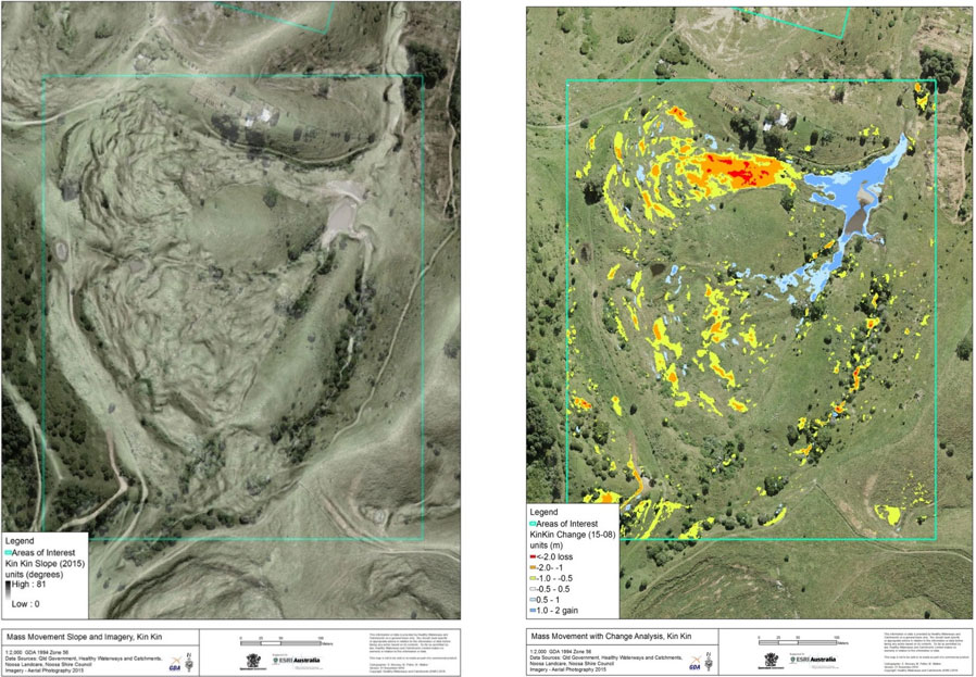
Example of LIDAR imagery
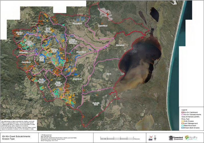
From the LiDAR assessment we were able to identify the different erosion processes occurring in the catchment and the appropriate remediation activities and land management tools to address these erosion types.
The top erosion types for the Kin Kin Catchment:
- Hillslope
- Gully
- Streambank
- Mass Movement
- Waterway management
Keeping soil in Kin Kin is all about groundcover, slowing down surface run-off and looking after our waterways.
The Keeping it in Kin Kin Project Implementation Plan can be downloaded here.
How you can get involved
The Keeping it in Kin Kin program aims to bring landholders and local experts together to share knowledge and find ways to minimise sediment mobilisation in hotspot locations and help create a resilient and healthy catchment. The program is also an opportunity for landholders to improve the productivity and health of their properties.
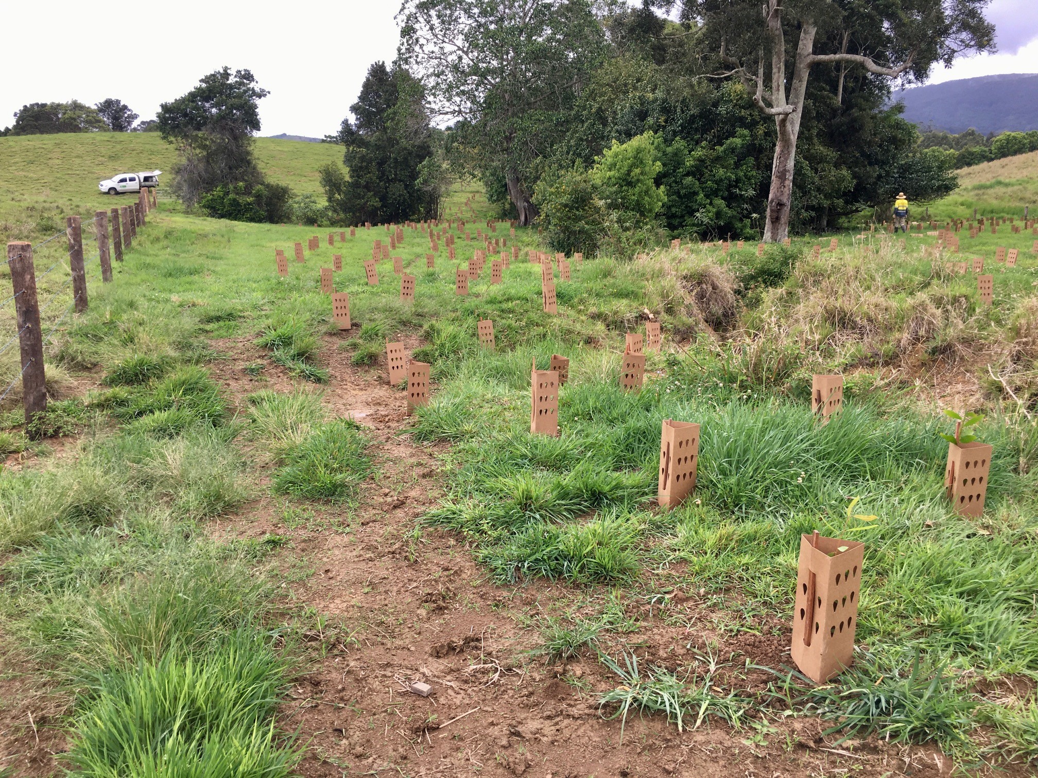
Partnering landholders may be provided financial assistance and support to implement improvement strategies such as, but not limited to:
- Waterway and gully livestock fencing,
- Installing off-stream water sources for livestock,
- Vegetation planting in waterways, gullies and hill slopes,
- Erosion remediation, and
- Management of environmental weeds, such as Cats Claw Creeper (Macfadyena unguis-cati) and Madeira vine (Anredera cordifolia).
You may be eligible for funding support if your property is located within the identified high and medium catchment priority areas. See the program factsheet for mapped priority areas. Properties outside these priority areas with significant erosion may be eligible for funding support based on site assessment.
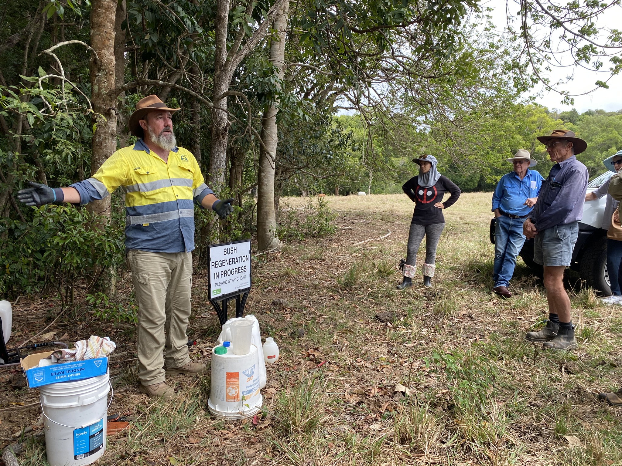
The program also provides landholders of the Kin Kin Catchment and surrounding regions access to resources and local workshops and field days covering land management topics, such as rural erosion control, waterway health, livestock and grazing management and more.
Grab the Program Factsheet here.
Visit our resources page for useful land management factsheets, website links, book recommendations and more.
Proudly partnered with


